
Hawaiian dry forests once supported an impressive diversity of tree species, perhaps more than any other Hawaiian forest type (Rock 1913). Today, the distribution, diversity, and composition of dry forests in Hawaii are the result of significant human impact and ecological changes. Researchers have stated that over 90% of the original dry forest coverage has been eliminated in Hawaii, however, the actual extent of native dry forest cover may be as low as 1% (Bruegmann 1996; Juvik & Juvik, 1998; Allen 2000; Cabin et al. 2000). Land development, fire, non-native ungulate grazing, and invasions by non-native plant species have been identified as the most serious threats to Hawaii’s dry forests, causing severe degradation and fragmentation (Cuddihy 1989; Cuddihy & Stone 1990; Stone et al. 1992; Bruegmann 1996; Blackmore & Vitousek 2000). The Hawaiian Islands are situated in the middle of the Pacific Ocean, extremely isolated from any continental landmass. More than 99% of the land area consists of eight main islands, Niihau, Kauai, Oahu, Molokai, Lanai, Maui, and Hawaii (known as the Big Island), located at the end of a long chain of 132 islands, reefs and shoals. The islands decrease with age toward the southeast from Niihau, the oldest (5.2 Ma years), to the Big Island, the youngest (0.6 Ma years) (Clague 1996, Wagner et al. 1999). The vegetation zones of Hawaii are primarily influenced by orographic precipitation and the northeast tradewinds. The windward, or wetter, side of the island occurs on the northeast slopes, while the leeward, or drier areas are in the southwest regions. The rainy season in the dry forests is typically between November and March (Wagner et al. 1999).
The Polynesians were the first humans to arrive to the Hawaiian Islands, the timing of which, varied throughout different locations on different islands but is estimated to be roughly 2000 – 800 yrs BP. Their arrival marks a turning point in the environmental history of the Hawaiian Islands. The most severe change occurred in the lowlands because these areas were favorable for human habitation and land-use such as agriculture. For these purposes, lowland forests were cleared with fire followed by slash-and-burn agriculture (Kirch 1982; Burney & Burney 2003). Charcoal evidence from Maui and Kauai has shown that impact in high elevation areas was minimal, while lowland areas were subject to frequent fires (Burney et al. 1995; Burney and Burney 2003). Some examples of vegetation and ecological changes resulting from the colonization of the Polynesians are the near-extinction of Kanaloa kahoolawensis, the destruction of once-extensive Pritchardia palm forests with Dodonaea and Kanaloa understory, lowland plant extirpations to higher elevations, such as Zanthoxylum which is now considered mesic-wet taxa, and the introduction of fire and non-native species (Athens & Ward 1993; Athens 1997; Burney et al. 2001). Later, European arrival prompted the intensification of agriculture by developing large-scale commercial practices. In addition, attempts to protect the quality of watersheds for commercial agriculture interests included the widespread planting of non-native tree species in the early 1900’s (Woodcock 2003). Many of these non-native tree species are invasive in Hawaiian dry forests.
In addition to surveying the distribution, diversity, and composition of remaining Hawaiian dry forests, our research also examines past vegetation change by using paleoecological methods. We have a sediment core from Kealia Pond, Maui and are reconstructing vegetation change since human arrival using fossil pollen and charcoal evidence.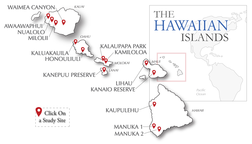
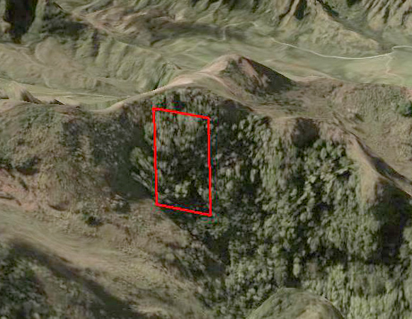
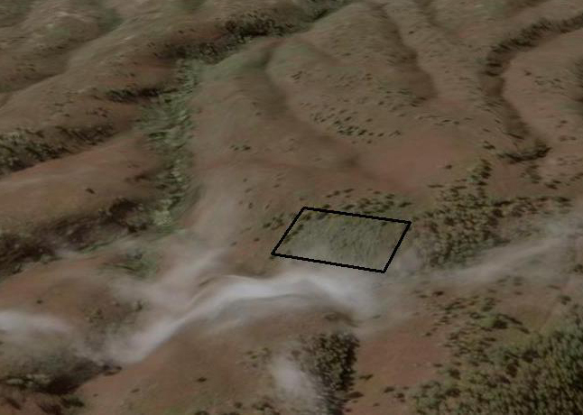
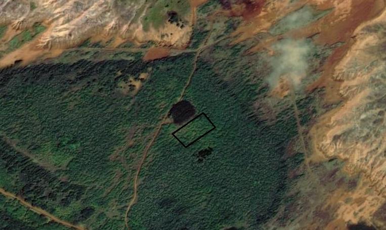
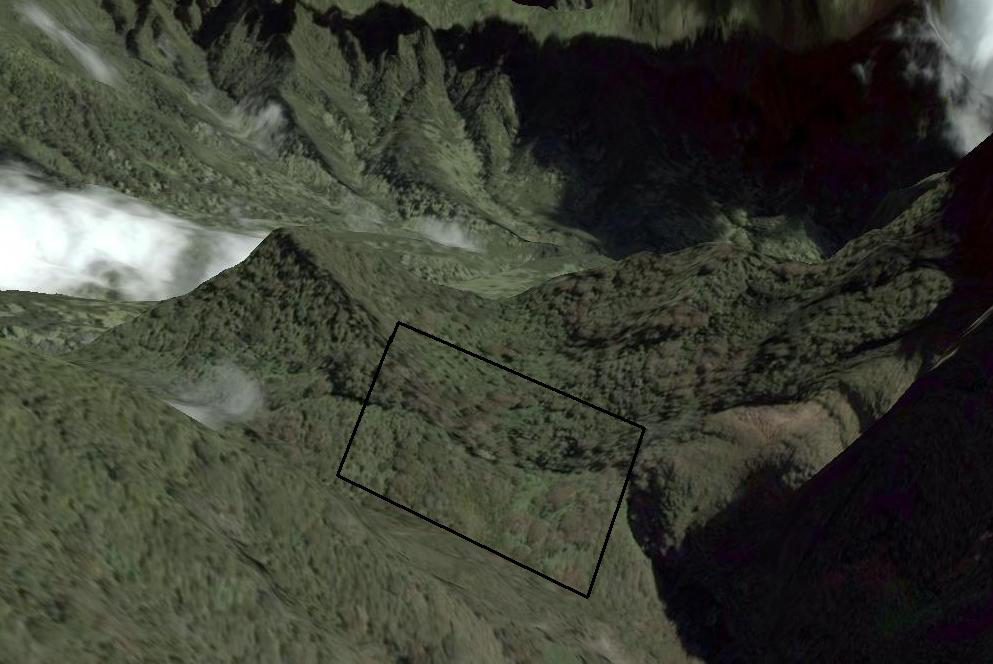
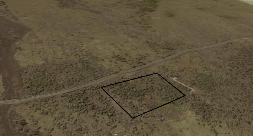
Study Sites:
(Refer to map for Study Site links.)
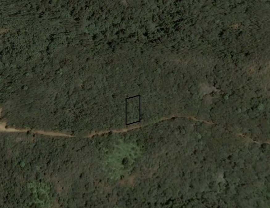
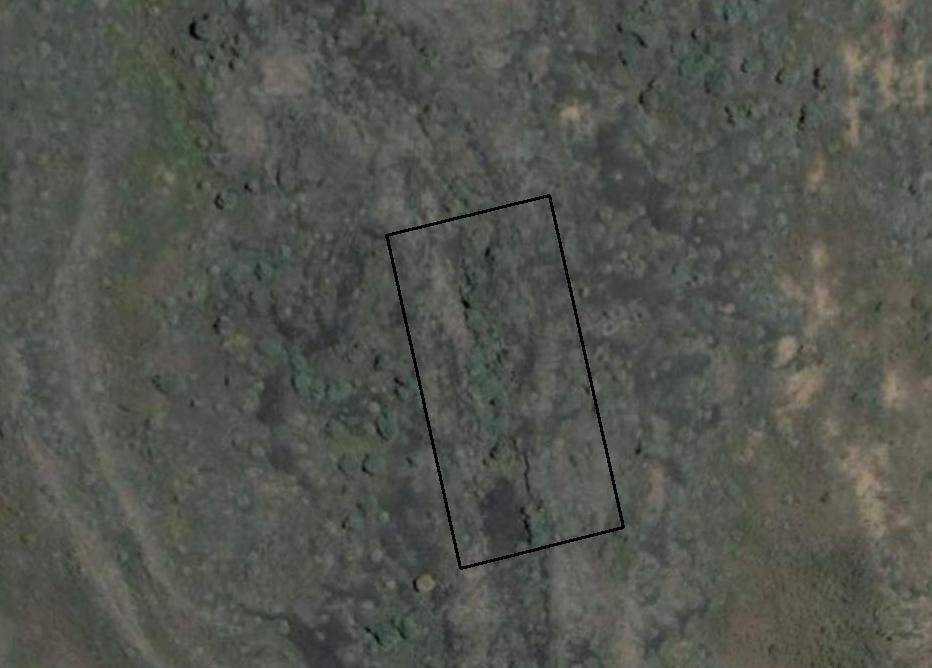
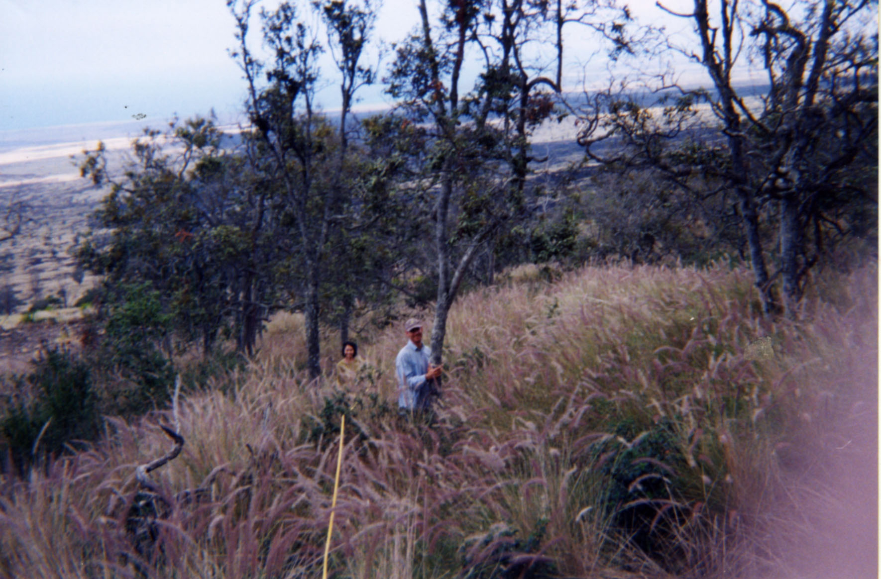
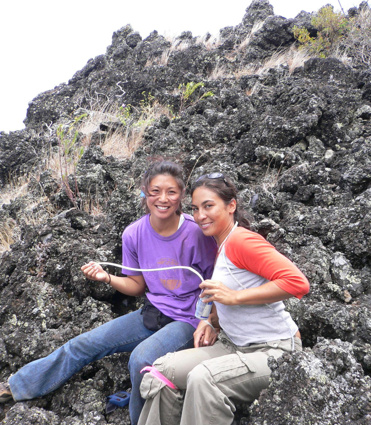
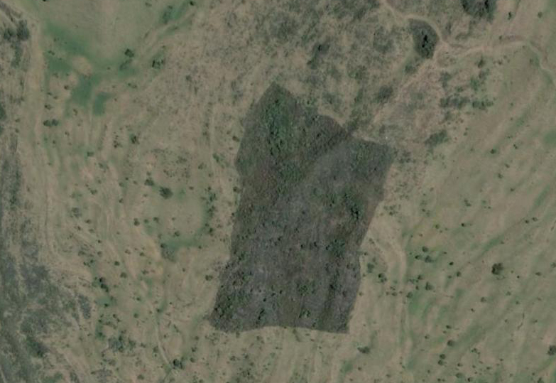
Fifteen study sites, representing the largest fragments, have been identified on six of the main islands. The following sites were surveyed between 2004-2006: Kauai (Awaawapuhi, Nualolo, Miolili, Waimea), Oahu (Kaupulehu and Honouliuli), Molokai (Kamiloloa), Lanai (Kanepuu 3 fragements), Maui (Kanaio, Lihau), Big Island (Manuka 2 fragments and Kaupulehu).
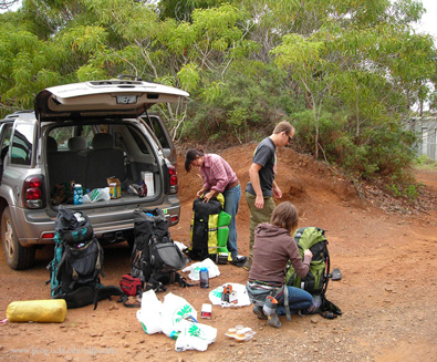
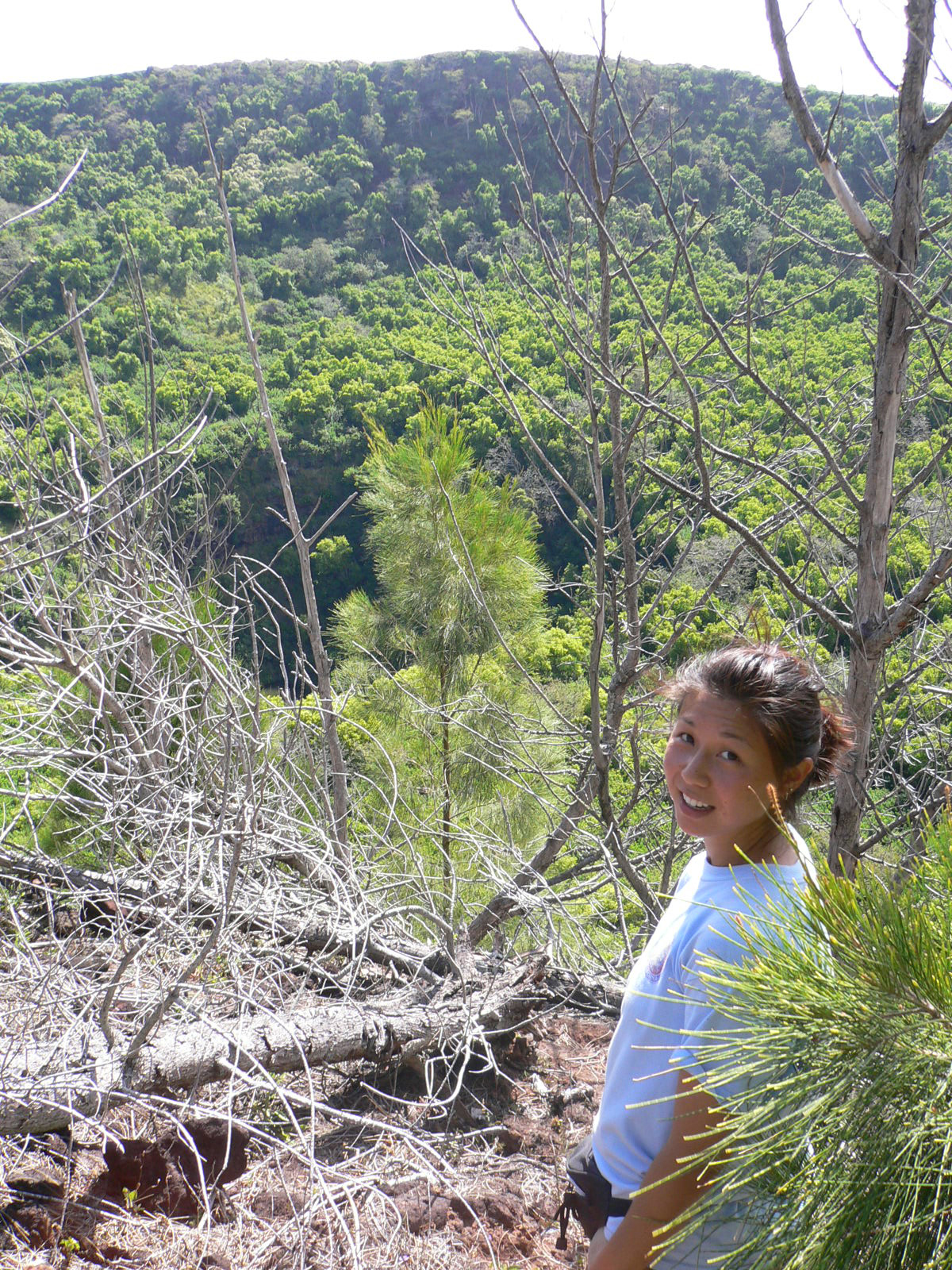
Undergrad Research: FIELD WORK IN OAHU 2008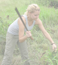 Chelsea Robinson, UCLA
SPECIES POSTERS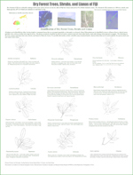
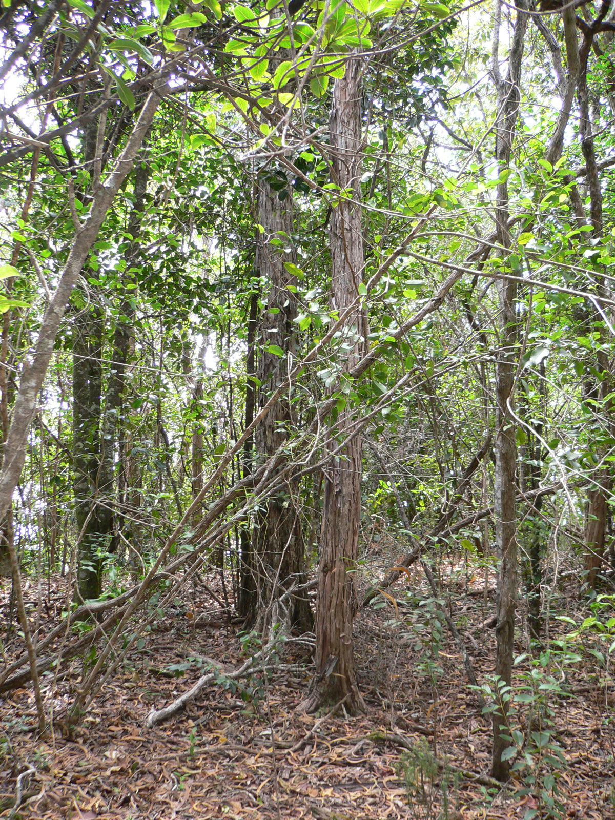
Location: Awaawaphui
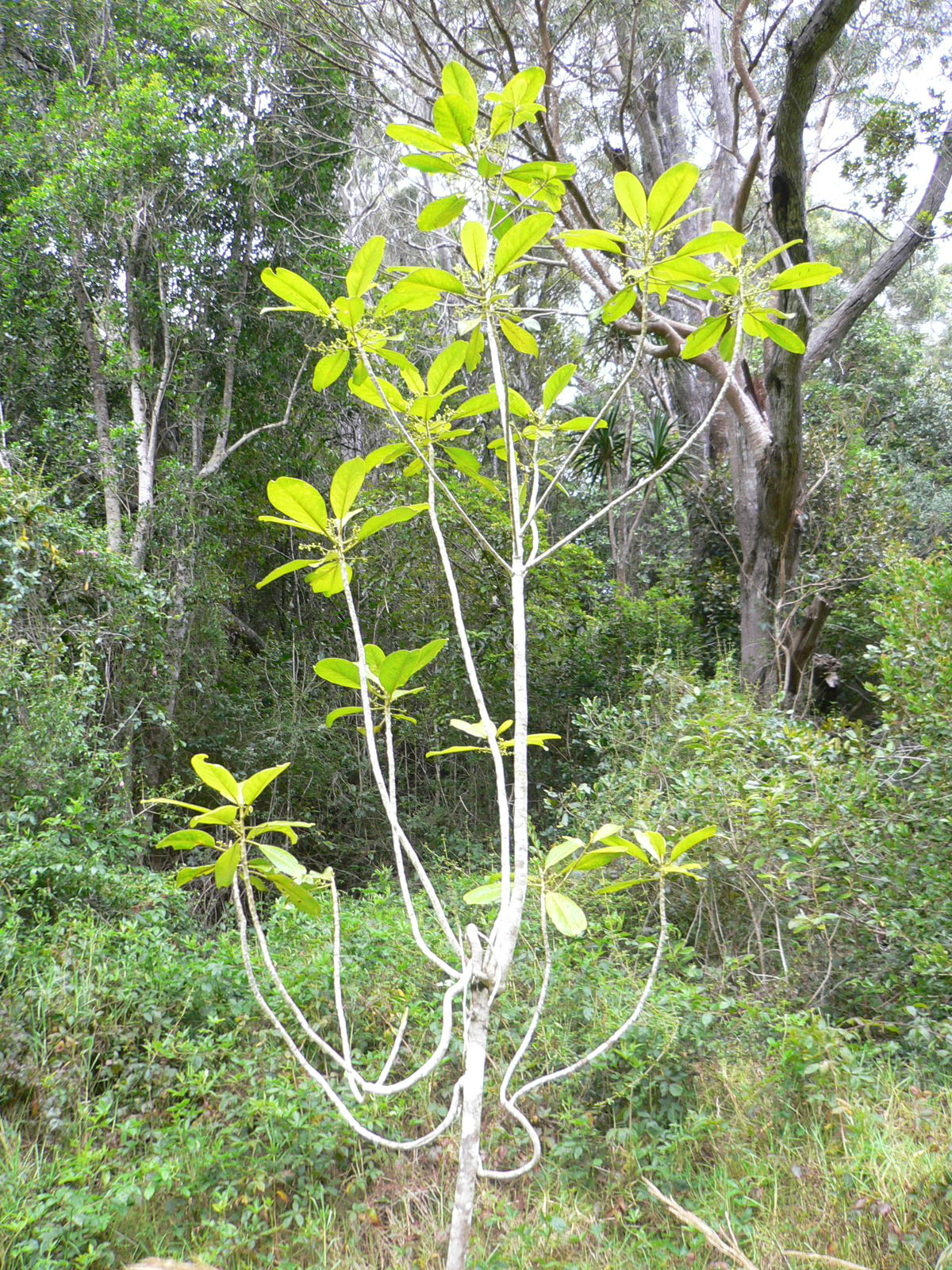
Awaawaphui trail is located within Kokee State Park. The trail heads west, initially winding through mesic forest dominated by Metrosideros polymorpha (ohia lehua) and slowly grades into dry-mesic forest, where Acacia koa (koa) becomes a co-dominant with M. polymorpha, and eventually dry shrubland overlooking the Nualolo and Awaawapuhi Valleys. The main canopy trees in the dry forest site are Acacia koa and M. polymorpha, with a few individuals of the rare and threatened species Alphitonia ponderosa (kauila), and understory species of Diospyros hillebrandi (lama), Dodonaea viscose (aalii), and Psychotria mariniana (kopiko). Although relatively diverse in native species, the site has several individuals of the introduced Guava (Psidium cattleianum).
Location: Nualolo Trail
Nualolo trail, also located within Kokee State Park, is south of Awaawapuhi trail, connecting with each other along a dry ridge of Dodonaea viscosa dry shrubland. The site at Nualolo receives less annual precipitation than Awaawapuhi and is slightly less diverse and more heavily dominated by Psidium cattleianum. Nonetheless, the two sites are floristically similar in the dominant canopy species.
Location: Milolii
Milolii ridge is located south of Nualolo and receives less annual precipitation than Nualolo. The canopy is primarily dominated by Acacia koa, with an understory of Dodonaea viscosa and Styphelia tameiameiae (pukiawe). There are a few individuals of Santalum freycinetianum (iliahi).
Location: Waimea Canyon
The last site on Kauai is within Waimea Canyon State Park along the Kukui trail. The site is located on a steep slope, approximately a mile before reaching Wiliwili camp. Descending into the canyon, a view of a patch of Hibiscus waimeae (kokia keokeo) and its large white showy flowers is visible in a small valley off to the right. At the site, the canopy is dominated by Diospyros hillebrandi, Sapindus oahuensis (lonomea), and scattered, but impressively large individuals of Erythrina sandwicensis (wiliwili). 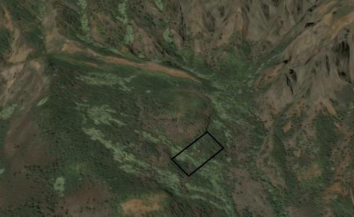 The understory is relatively open, with the exception of a few seedlings of Diospyros hillebrandi. Unfortunately no seedlings of E. sandwicensis are present, even though the bright seeds can be seen in the leaf litter. This is perhaps an indication that Erythrina sandwicensis seeds are not germinating. It appears that the several introduced species present, such as Melia azedarach and Grevillea robusta, are crowding out E. sandwicensis. This site has the potential to be a great example of native Hawaiian dry forest at low elevations on Kauai, but removal of non-native species is an essential first step.
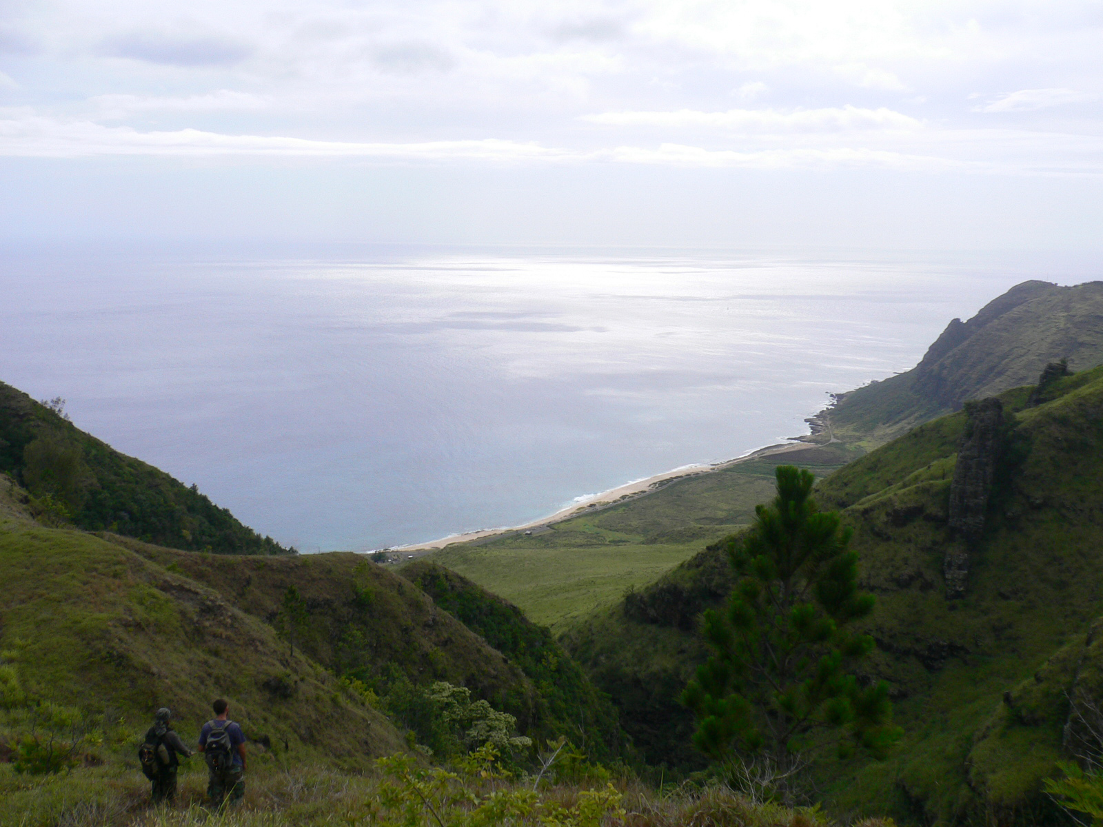
Location: Kaluakauila
Kaluakauila is located on the backside of Makua Valley and managed by the U.S. Army. This site is a Diospyros sandwicensis (lama) dominated forest, located on a steep slope. Other common species at this site include Psydrax odorata (alahee) and the Polynesian introduced Cordyline fruticosa. This is one of the largest and best preserved dry forests on the island of Oahu. There is also excellent potential to expand the size of remaining fragments and reintroduce Federally endangered species that can persist in this region.
Location: Honouliuli
Honouliuli Preserve is along the southern Waianae Mountains range and managed by The Nature Conservancy of Hawaii. This site is located on a steep slope dominated by canopy trees of Sapindus oahuensis. Other species include Antidesma pulvinatum (hame), Nestegis sandwicensis (olopua) and a diverse understory of Pisonia umbellifera (papala kepau), Pouteria sandwicensis (alaa), and Rauvolfia sandwicensis (hao). Schinus terebinthifolius, an introduced species that is highly invasive, is also common at this site. This site is wetter than other dry forest types in the Hawaiian Islands but still maintains a number of dry forest species that have gone locally extinct in the lowlands.
Location: Kamiloloa
Kamiloloa is located south of the Kamakou Preserve managed by The Nature Conservancy of Hawaii. Although the site was fenced in to keep out grazing ungulates, the site burned. The patch is dominated by Acacia koaia, while other species include Diospyros sandwicensis, Dodonaea viscosa, Nototrichium sandwicense (kului), and Wikstroemia oahuensis (akia). It may be the last remaining fragment of dry forest on the island of Molokai.
Location: Kalaupapa
We searched for native dry forest in the Kalaupapa National Historic Park. There were a number of widely spaced native trees such as Erythrina sandwicensis in the peninsula crater which is surrounded by a fence. However, Schinus terebinthifolius has completely taken over the area. This is an excellent site in which to restore native dry forest on Federal land. However, native species need to be planted immediately. This is also an excellent site to introduce dry forest species on the Federal Endangered Species list which were once common on Molokai.
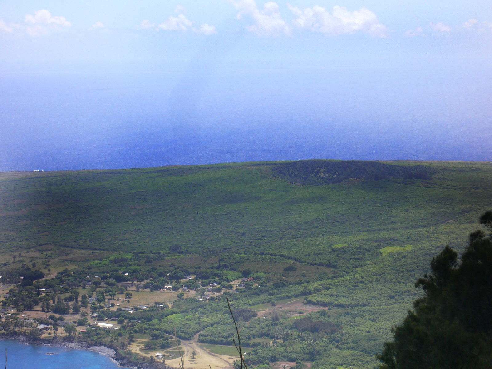
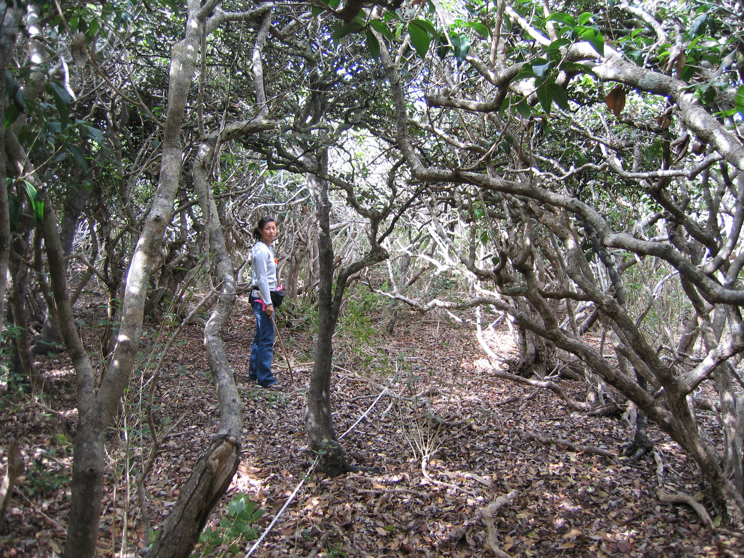
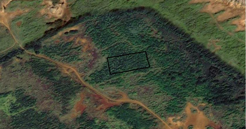
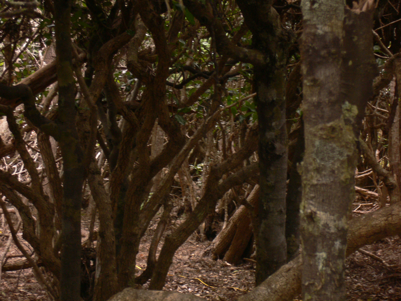
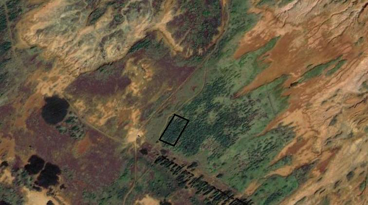
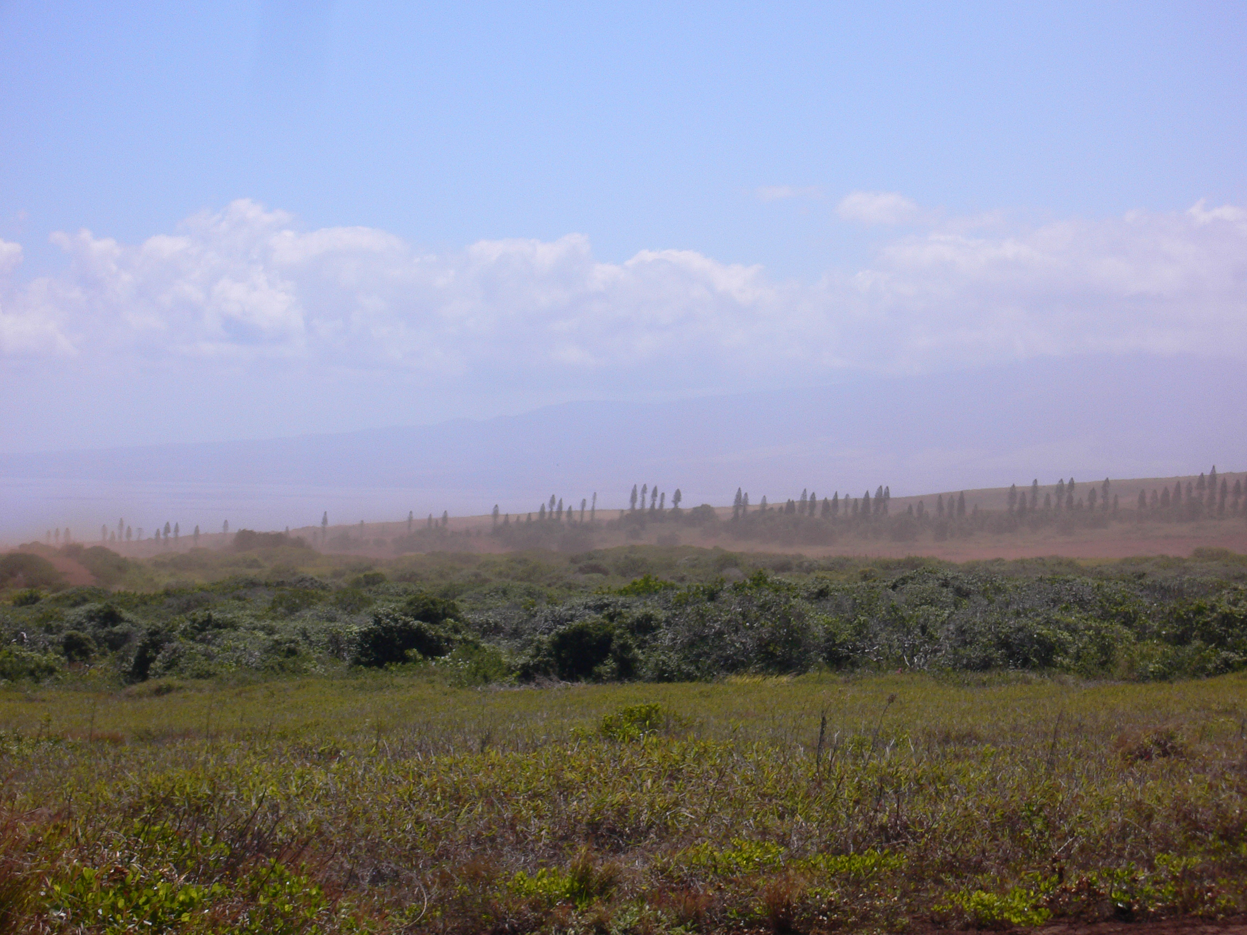
Location: Kanepuu Preserve
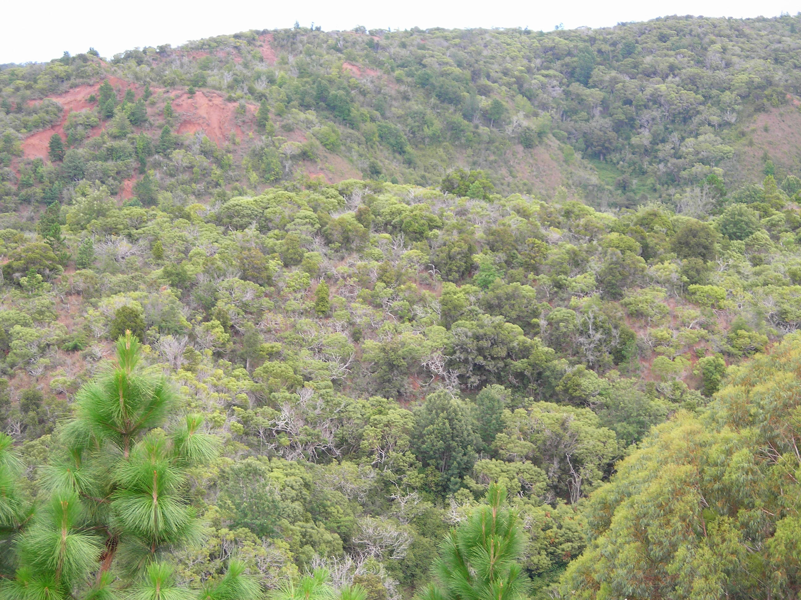
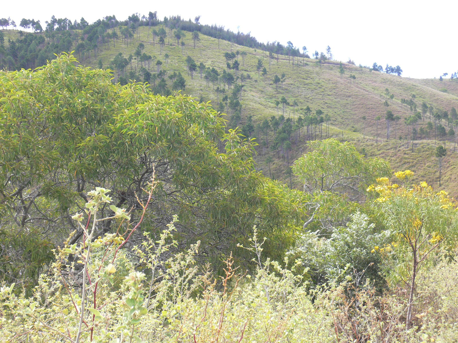
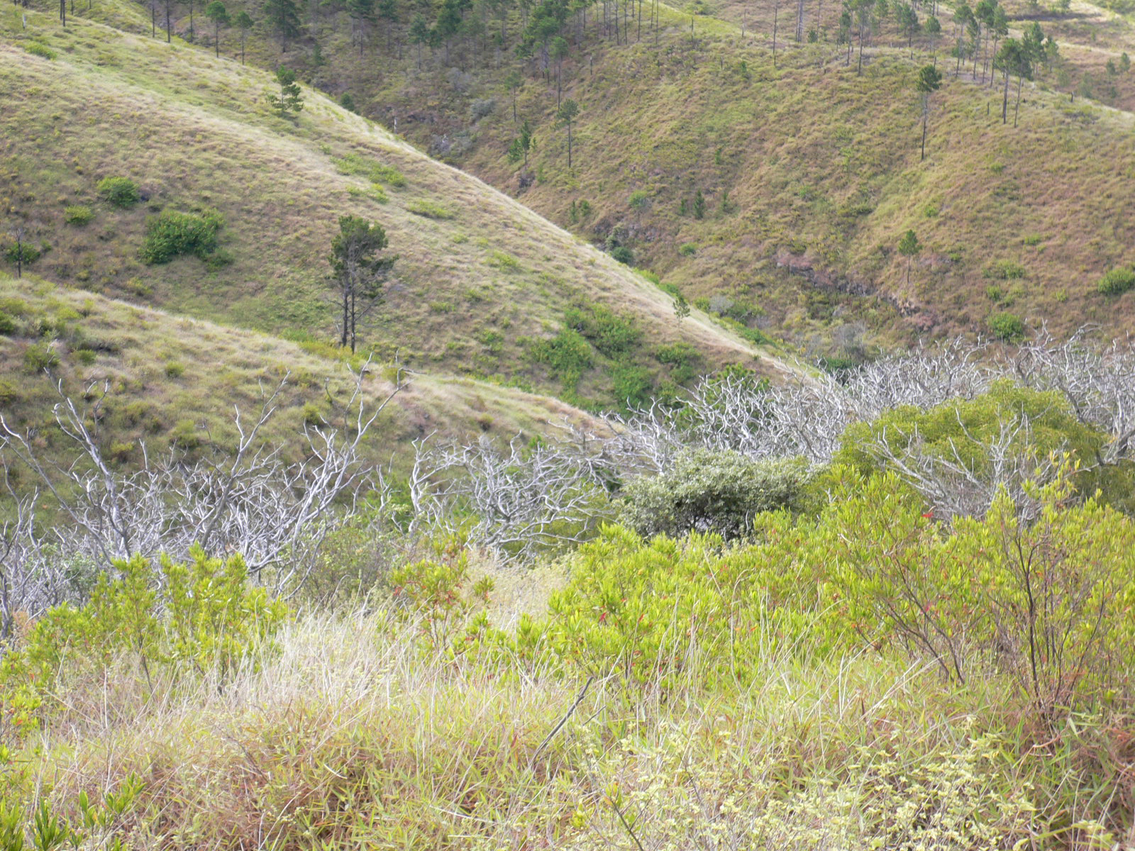
Kanepuu Preserve is comprised of several disjunct patches of dry forest that have been fenced by The Nature Conservancy of Hawaii. Two sites were surveyed within the largest patch, known as the Kanepuu unit (top four images), and one site was surveyed within the Kahue unit (bottom two images). These sites are all Nestegis sandwicensis/Diospyros sandwicensis dominated forests of short stature (about 4 meter high canopy), several stems per individual, and few native understory species. The short stature is probably a result of the high winds that are tunneled between the upwind islands of Molokai and Maui. The most diverse site is within the Kahue unit, with understory species of Psydrax odorata and Myoporum sandwicense (naio). In the past, grazing animals such as axis deer, mouflon sheep, and cattle were major threats to these sites before fences were constructed. Currently, invasive species such as Lantana camara and Schinus terebinthifolius are the largest threat to Kanepuu. There is excellent potential to restore dry forests in abandoned pineapple plantations. This would also be an important tourist draw to the island and may tourists might actively participate in the restoration effort.
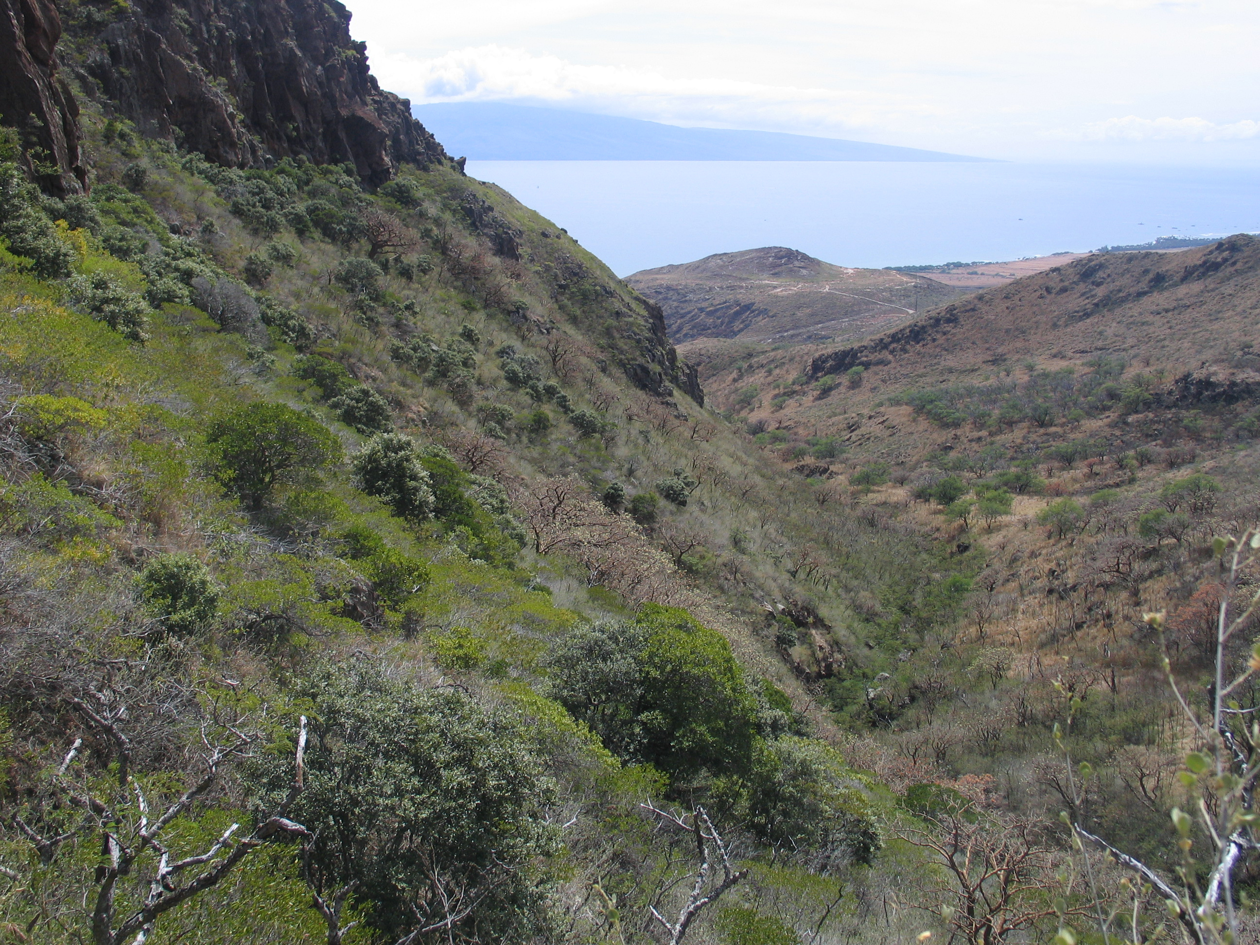
Location: Kanaio
Kanaio Natural Area Reserve is located on East Maui with native dry forest patches occurring on rocky lava substrate. The site surveyed within Kanaio is on the north side of a paved road (which bisects Kanaio into two parcels). Although diverse in tree species, this site is more open in canopy cover than other sites. The primary canopy species are Diospyros sandwicensis and Pouteria sandwicensis (lama-alaa). There are a few scattered individuals of Rauvolfia sandwicensis and the deciduous species Reynoldsia sandwicensis (ohe-makai).
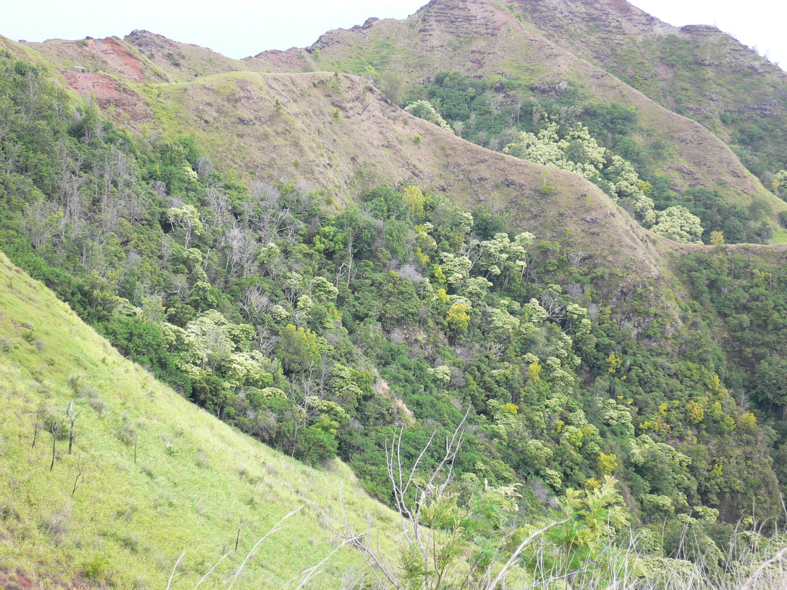
Location: Lihau
The Lihau site is located along the lower elevation slopes of Lihau summit within the West Maui Natural Area Reserve. This site has the fewest native species richness, but the slope covered by yellow and orange flowers of the summer-deciduous species Erythrina sandwicensis is remarkable. The site is being aggressively invaded by Leucaena leucocephala.
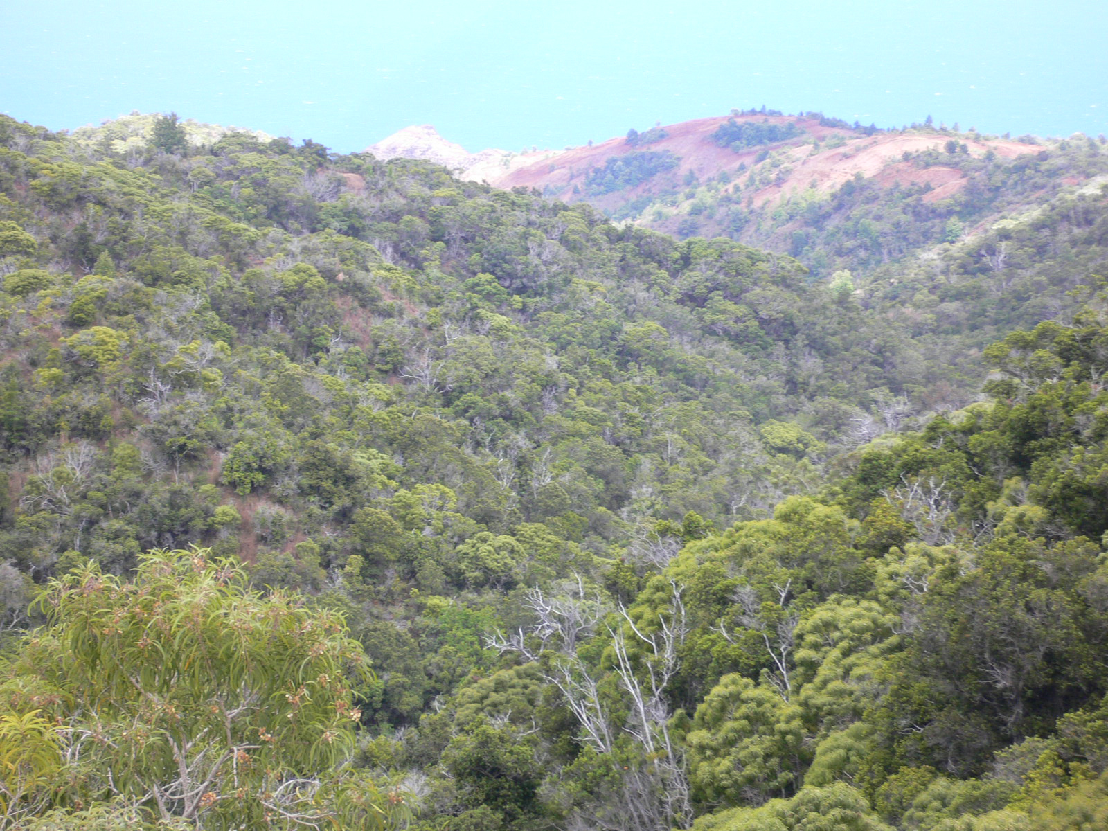
 Although the dry forest life zone occurs over 1000 meters on Hawaii, the lowlands contain a small percentage of the dryforest species on the island. Almost all dry forest within Volcanoes National Park has recently been covered by active lava flows and we could find no closed canopy native dry forest in Volcanoes National Park. The best remaining dry forest occurs in Southwestern Hawaii and woodlands of native dry forest trees occur on the Kona side of Northern Hawaii.
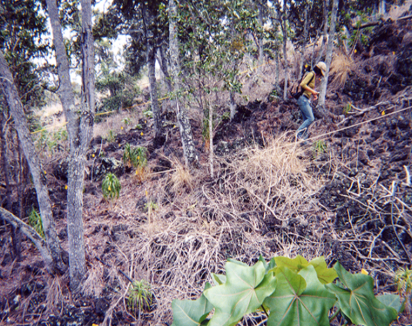
Location: Kaupulehu
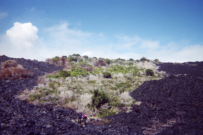
 The site occurs Holocene aa lava flows and receives approximately 500 mm of annual precipitation. This site is within one of the largest restoration projects on the dry side of Hawaii. The African fountain grass (Pennisetum setaceum) now dominates extensive lowland areas and alter native ecosystem processes by initiate a grass/fire feedback cycle which promotes their establishment of fountain grass and increases fire frequency and intensity in the region. Pennisetum setaceum aggressively invades the understory of the forests and successive burning results in the successive reduction of native forest cover (Cabin et al. 2002). Since 2000 there has been an active program to remove exotics, maintain fences, trap rats, and establish an irrigation system to water native trees. The forest is dominated by widely dispersed mature trees, especially Diospyros sandwicensis and Psydrax odorata.There are also a two rare trees (Colubrina oppositifolia, Pleomele hawaiiensis), that were once widespread on the dry side of Hawaii. This is a model restoration project on the dry side of Hawaii.
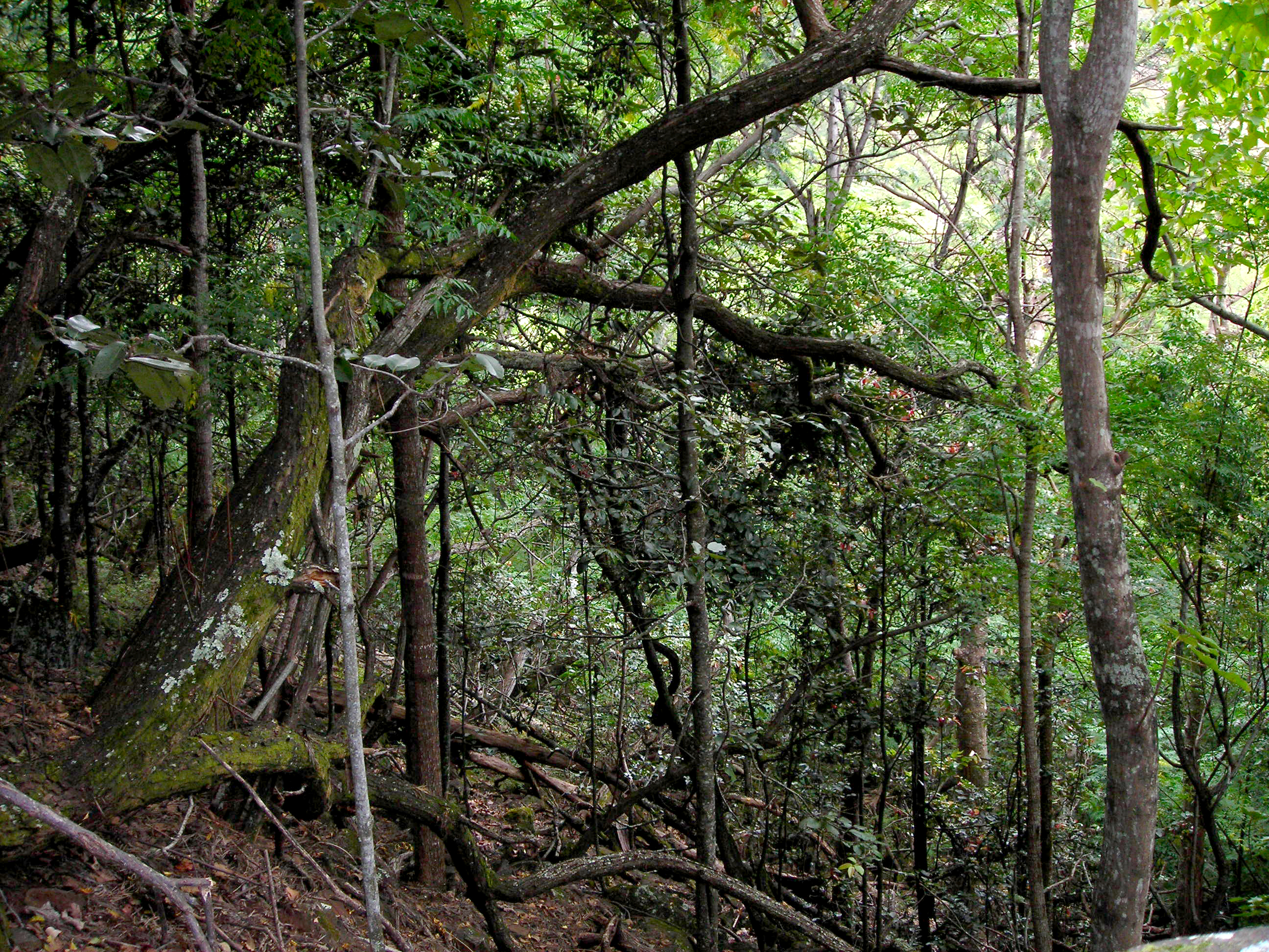
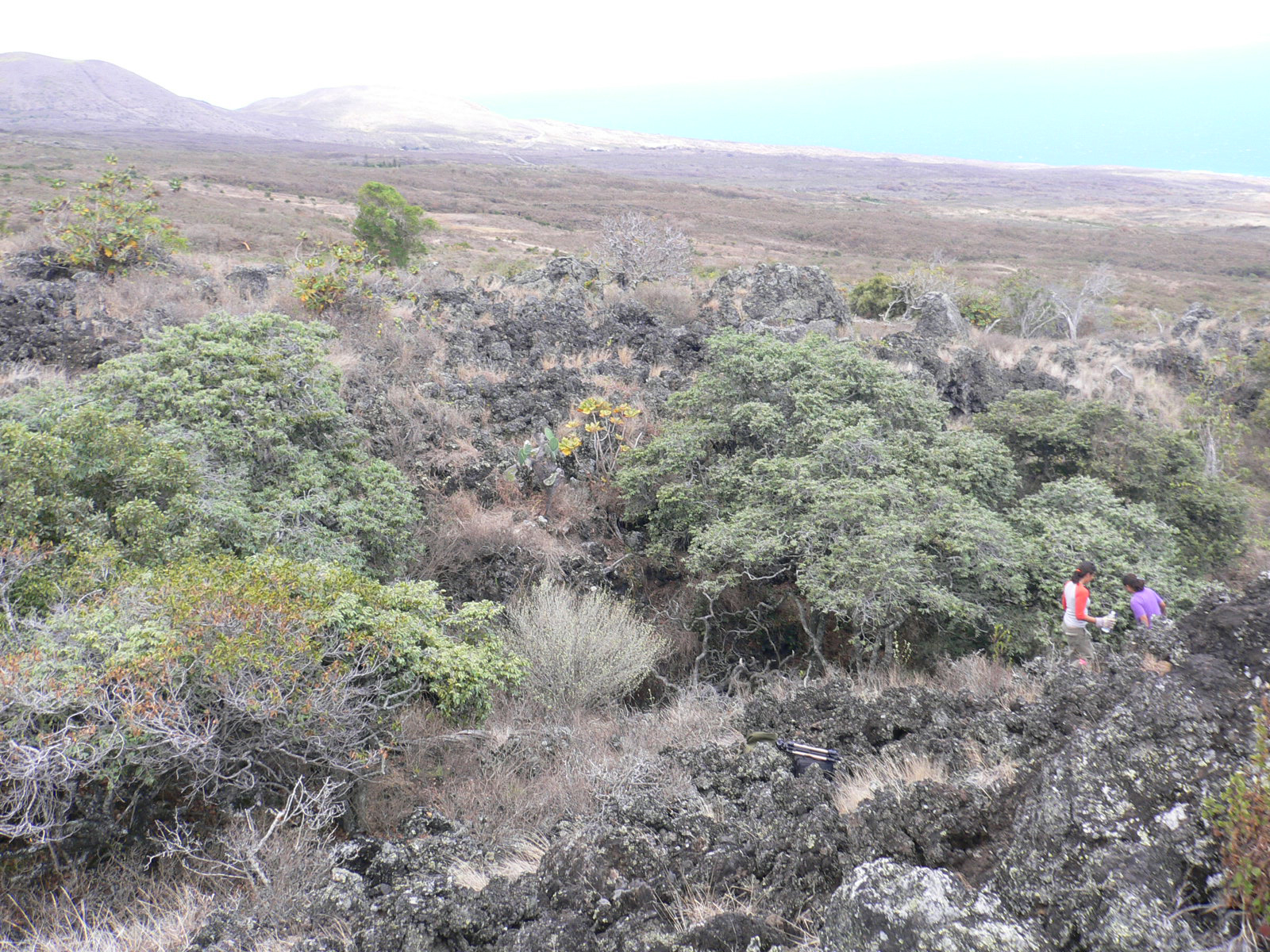
Location: Manuka 1
This site is located in Manuka State Park. This is one of the best dry forest sites on the Kona side of Hawaii with a closed canopy. The park receives about 2000 mm of annual precipitation and this forest fragment is located on old weathered aa lava flow which has had time for soil development within a matrix of Metrosideros polymorpha forest. The forest is dominated by Nestegis sandwicensis, Diospyros sandwicensis, and Psydrax odorata. The forest has a high density of native trees with a canopy approximately 8 to 10 meters high. There were only one non-natives species in the transects.
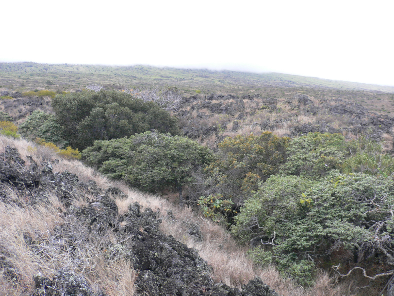
Location: Manuka 2
This site is located within Manuka State Park on recent blocky aa lava flows. There has been little time for soil development and the native forest is dominated by large Metrosideros polymorpha trees. The canopy is extremely high (12 to 20 m) and contains a diversity of tree found in both dry and mesic forests. Native birds such as the ‘Elepaio (Chasiempis sandwichensis) are common.
 CONSERVATION
By Thomas Gillespie
Hawaiian dry forests are highly endangered with 90% endemism and 45% of the trees and shrubs on the Federal Endangered Species List (Pau et al. 2009). The Big Island contains the largest area of remaining native dry forests, followed by Kauai, however, these areas still cover less than 2% of each island. These islands are also among the most species-rich in tropical dry forest trees according to both incidence data (Pau et al. 2009) and the 0.1-ha plot data from this study. The smallest and most degraded dry forests are currently on the islands of Maui, Oahu, and Lanai, based on the remaining area and their percentage of non-native species in our plot data. There is a desperate need for inventories, conservation, and restoration of tropical dry forest in Hawaii.
INVENTORIES
The Hawaiian islands have incidence data for islands and the dry forest region (Pau et al. 2009), however, there is little publicly available data on the distribution of native and especially threatened species within the dry forest region. This is largely due to the large number of conservation organizations that work in Hawaii (federal, state, local, non-profit) that employ different survey methods over different spatial scales. Compared to other dry forests in the United States, dry forest in South Florida have incidence data on all vascular plants for each fragment or reserve and standardized plot data is available for a majority of the remaining fragments in South Florida. This type of incidence data per fragment or reserve would be incredibly useful to make conservation assessments and monitor the status of threatened species, especially given the fact the 45% of the dry forest trees and shrubs are on the Federal Endangered Species List (Pau et al. 2009).
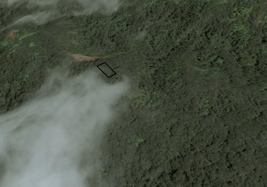
It may be best to identify and quantify the current extent and quality of remaining dry forest fragments within the Hawaiian Islands using recent data from the Hawaii Gap Analysis Program. In 2008, the Hawaii Gap Analysis Program made public high-resolution land cover data at 30-m pixel resolution that can help identify the current extent of native dry forest in the Hawaiian Islands. This can provide a first order hypothesis concerning the size and number of fragments for each island which can then be surveyed to quantify species incidence and density data. However, there are a number of extremely small fragments of native dry forest vegetation and areas that contain threatened dry forest species that will not show up on the Hawaii Gap Analysis maps because they are less than one or two pixels. Indeed, some of our study plots on Molokai, Hawaii, and Maui appear to small to be included in the Gap Analysis but contained some of the best dry forest on each island. The identification of these areas along with those already identified from the Gap Analysis would improve any conservation analysis of dry forests in the future. These remaining dry forest sites can also be monitored for fire and greenness daily using the NASA MODIS sensor to identify near real time disturbance.
CONSERVATION
 There are a number of federal, state, city, and non-profit organizations that need funding to continue working on the protection,restoration, and education of Hawaiian dry forests. Federal agencies are undertaking extensive restoration projects on military land and this needs to be continued and expanded. State agencies manage the Natural Area Reserve System and they are currently undertaking projects aimed at restoring large areas with native plants and outplanting of endangered species. This needs to be continued and funding increased. The cities and counties in Hawaii have undertaken a number of excellent education projects concerning native dry forest species. For instance, Honolulu has five botanical gardens in the lowlands of Oahu and these micro-restoration projects are important for educating the general public on native dry forest species that used to occur in the heavy developed urban lowlands. Finally, there are a number of non-profit organizations involved in propagating, protecting, and restoring native dry forest species on public and private land. These organizations have an unique opportunity to replant in densely populated or degraded areas in the lowlands of the Hawaiian islands. Funding of these non-profits and community involvement have great potential to significantly expand the extent of dry forests while allowing the general public access, use, and enjoyment of Hawaiian dry forests.
RESTORATION
Currently the replanting of all species on the Federally threatened species (45% of dry forest species) is overseen by federal and state agencies and it is illegal for the general public to outplant these species due to the concern that cultivated varieties will breed with outplanted species and possibly compromise the genetic integrity of species. However, it is possible to outplant non-threatened species over large areas. By outplanting dry forest species in different areas or nodes in the dry regions of the Hawaiian islands, it may be possible to identify which species can naturally occur at equilibrium with current environmental conditions and may provide future habitat for planting of threatened species in order to remove them from the Federal Endangered Species List. Indeed, using species distribution models, it should be possible to create hypotheses concerning where all dry forest species historically occurred. The replanting and monitoring of success rates of establishment could be used identify if it is possible to increase the extent of dry forest regions in Hawaii. There is also currently a debate concerning the impact of non-native species on native dry forest. Non-natives are a threat to remaining fragments of dry forest, however, the complete or rapid removal of non-natives plants may have a negative impact on natives species by changing forest structure, microclimate, and disturbance involved with non-native plant removal. Thus, small scale and large scale experimental plots that remove some or all on the non-native species may provide insight on how to best manage and extend the extent of dry forests.
UCLA Undergraduate Research in Hawaii
Students undertook field research in Hawaii. Undergraduate students learned methods of plant identification, collected field data from transects, and undertook herbarium research. A number of these students also won awards and grants for undergraduate research projects.
1. Jo Situ, Geography, UCLA
Honors Thesis: “Bryophytes of Tropical Dry Forest Hawaii”
UCLA Undergraduate Fellowship
Field Site Visited: Hawaii
2. Elizabeth Del Cid, Geography, UCLA
Honors Thesis: “Conservation of Tropical Dry Forest on the
Island of Hawaii”
UCLA Undergraduate Fellowship
Field Site Visited: Hawaii
3. Scott Pipkin, Geography, UCLA
Honors Thesis: “Polynesian Uses of Tropical Dry Forest Plants of Maui”
UCLA Undergraduate Fellowship
Field Site Visited: Maui
4. Kate Ward, Geography, UCLA
Independent Study: “Dry forest bird inventories of Oahu”
Field Site Visited: Oahu
5. Markey Miller, Geography, UCLA
Independent Study: “High School Science Course Supplement For Native Forests of Hawaii”
Field Site Visited: Oahu
6. Chelsea Robinson, Geography, UCLA
Honors Thesis “Restoration Models for Dry Forests on Oahu”
UCLA Undergraduate Fellowship
Field Site Visited: Oahu
7. Tracy Fong, Biology, UCLA
Research: Enthobotnay and Education on Oahu
Field Site Visited: Oahu
8. Shea Broussard, Geography, UCLA
Research: Plant GIS and Remote Sensing Research in Hawaii
Field Site Visited: Oahu
9. Christopher Joseph, Geography, UCLA
Research: Restoration Projects on Oahu
Field Site Visited: Oahu
10. Victor Weisberg, Environmental Studies
Research: Non-native plant removal on Oahu
Field Site Visited: Oahu
Allen W (2000) Restoring Hawaii’s dry forests. Bioscience 50:1037-1041.
Athens JS (1997) Hawaiian native lowland vegetation in prehistory. In: Kirch PV and Hunt TL (eds) Historical ecology in the Pacific
Islands. Yale University Press, New Haven, Connecticut.
Athens JS, Ward J V (1993) Environmental change and prehistoric Polynesian settlement in Hawai‘i. Asian Perspectives 32: 205–223.
Blackmore M, Vitousek PM (2000) Cattle grazing, forest loss, and fuel loading in a dry forest ecosystem at Puu Wa’aWa’a Ranch, Hawaii. Biotropica 32:625-632.
Bruegmann MM (1996) Hawaii’s dry forests. Endangered Species Bulletin 11:26-27.
Burney DA, DeCandido RV, Burney LP, Kostel-Hughes FN, Stafford Jr. TW, and James HF (1995). A Holocene record of climate change, fire ecology, and human activity from Flat Top Bog, Maui. Journal of Paleoliminology 13: 209-217.
Burney DA, James HF, Burney LP, Olson SL, Kikuchi W, Wagner WL, Burney M, McCloskey D, Kikuchi D, Grady FV, Gage R, Nishek R (2001) Fossil evidence for a diverse biota from Kauai and its transformation since human arrival. Ecological Monographs 71:615-641.
Cabin RJ, Weller SG, Lorence DH, Flynn TW, Sakai AK, Sandquist D, Hadway LJ (2000) Effects of long-term ungulate exclusion and recent alien species control on the preservation and restoration of a Hawaiian Tropical Dry Forest. Conservation Biology 14:439–453.
Burney LP, Burney DA (2003) Charcoal stratigraphies for Kauai and the timing of human arrival. Pacific Science 57: 211-226.
Clague DA (1996) The growth and subsidence of the Hawaii-Emperor volcanic chain. In: Keast A, Miller SE (eds) The origin and evolution of Pacific Island biotas, New Guinea to Eastern Polynesia: patterns and processes. SPB Academic Publishing BV, Amsterdam.
Cuddihy LW (1989) Vegetation zones of the Hawaiian Islands. In: Stone CP, Stone DB (eds) Conservation biology in Hawaii. Cooperative National Park Resources Studies Unit, University of Hawaii, Honolulu.
Cuddihy LW, Stone CP (1990) Alteration of native Hawaiian vegetation. Cooperative National Park Resources Studies Unit, University of Hawaii, Honolulu.
Juvik SP, Juvik JO (1998) Atlas of Hawaii, 3rd ed. University of Hawaii Press, Honolulu.
Kirch PV (1982) The impact of prehistoric Polynesian on the Hawaiian ecosystem. Pacific Science 36:1-14.
Pau S, Gillespie TW, Price JP (2009) Natural history, biogeography, and endangerment of Hawaiian dry forest trees. Biodiversity
and Conservation 18:3167-3182.Rock JF (1913) The indigenous trees of the Hawaiian Islands. Reprinted in 1974 by Pacific Tropical Botanical Garden, Lawai, Kauai, Hawaii, and Charles F. Tuttle, Rutland, Vermont.
Stone CP, Smith CW, Tunison JT (1992) Alien plant invasions in native ecosystems of Hawaii. Cooperative National Park Resources Studies Unit, University of Hawaii, Honolulu.
Wagner WL, Herbst DR, Sohmer SH (1999) Manual of the flowering plants of Hawaii. Bishop Museum Press, Honolulu.
Woodcock D (2003) To restore the watersheds: early twentieth-century tree planting in Hawai’i. Annals of the Association of American Geographers 93:624-635.