


50th Anniversary
The Cotsen Institute of Archaeology celebrates 50 years of being at the forefront of developments in archaeology and conservation.

The Waystation Initiative
The Waystation organizes and facilitates the ethical return of international archaeological and ethnological objects to the nation of origin or descendant community.

Who we are
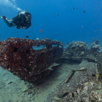
The Cotsen Institute of Archaeology at UCLA is a premier research organization dedicated to the creation, dissemination, and conservation of archaeological knowledge and heritage.

Archaeology Program
The UCLA Interdepartmental Archaeology Graduate Program integrates archaeological faculty throughout the university for the training of graduate students who wish to pursue interdisciplinary research.

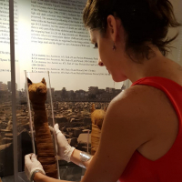
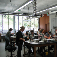
The Conservation Program
The first conservation training program on the west coast of the U.S., it is the only one in North America to focus on the conservation of archaeological and ethnographic objects.
The Cotsen Institute of Archaeology at UCLA is a premier research organization dedicated to the creation, dissemination, and conservation of archaeological knowledge and heritage.


Archaeologists at the Cotsen Institute of Archaeology are available to speak to K-12 students about their work in the field and answer questions about their areas of expertise.
FROM THE DIRECTOR
I have vivid memories of sitting in Richard Leventhal’s office in A207 Fowler sometime around 1998. I was a twenty-one-year-old anthropology major who was there to talk to the then Director of the Cotsen Institute of Archaeology about whether he would consider supervising an independent research project I was developing on the material evidence for shamanism in ancient West Mexican funerary deposits. At that time, I was also a work-study student in Jeanne Arnold’s Channel Islands Lab where I sorted seashells with tweezers for hours on end until it got to the point that I was having dreams about Olivella beads. Despite the fact that I would sometimes close my eyes and see seashells, working with Jeanne cemented my love of archaeology. It was also her early mentorship that made me feel welcome in the Cotsen and in the field of archaeology more generally. Her approach to supporting students is something I draw upon often when I now meet with my own eager undergraduates in that same lab space where I found my calling so many years ago.
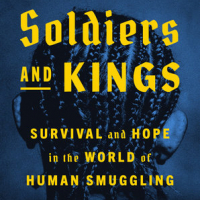
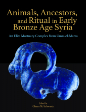
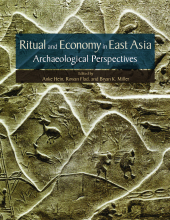
New Books from the CIOA Press
Online Access to CIOA Press Books
Greetings and best wishes from the Cotsen Institute of Archaeology Press! We hope you are all well, and adjusting to the very challenging new ways we are all living and working. The nature of research and obtaining information has shifted rapidly to online resources, and to make our publications more accessible, we are in the process of uploading pdfs of nearly 100 CIoA Press books that can be read online through eScholarship.
Early Athens, Unmasking Ideology in Imperial and Colonial Archaeology, The Construction of Value in the Ancient World and Maya Zooarchaeology are just a few of our titles either available now or soon to be added. Check back regularly to find the latest additions.
Some of the older titles are downloadable in pdf from the same site.